

The Office of Geothermal (OG) supports data compilation and collaboration needs by collecting, analyzing, and disseminating data related to geothermal energy.
Expanding geothermal deployment in the United States requires high-quality data and collaboration, and lots of it. Information on all aspects of geothermal development—from resource assessments and drilling to project costs and timelines—is vital to help identify and address barriers to geothermal adoption, assess technical progress across the geothermal sector, and prioritize research.
OG's data, modeling, and analysis work includes examining nontechnical barriers to geothermal deployment like project permitting, evaluating market trends, conducting technology impact and regulatory analyses, identifying best practices, and outlining funds needed to refine the geothermal research, development, and demonstration (RD&D) portfolio.
OG places significant emphasis on making data available to industry, academia, financiers, utilities, policymakers, and other stakeholders. All OG-funded projects are required to upload their data to the Geothermal Data Repository for public use. Those data are complemented by Final Technical Reports that OG researchers upload to OSTI.gov at project completion.
View more geothermal data, tools, and other technical resources and OG’s funding opportunities.
Initiatives
Geoanalysis Initiative
OG set out to restructure its capacity to handle short- and long-term strategic analysis, with a focus on geothermal valuation, deployment, and techno-economic analysis. With the Geoanalysis Initiative, OG’s objective is to spur more collaboration and better accounting for geothermal in energy planning models that inform high-impact analyses within and external to DOE. The goal is to create a geothermal analytical capabilities toolkit and ensure that modeling tools integrate geothermal systems effectively. In particular, OG is working to create tools that better assess geothermal energy’s cost and value for both the generation and demand sides of the bulk energy system.
Through the Geoanalysis initiative, OG pursued a wholesale revitalization of geothermal representation in the National Laboratory of the Rockies's (NLR) analysis ecosystem and how geothermal technologies are represented within underlying NLR data and models that are subsequently applied to high-impact NLR research. The result of this comprehensive initiative is significant expansion of geothermal representation across nearly all relevant energy system, planning, and foundational modeling work supported by NLR, paving the way for greater awareness of the potential in geothermal technologies and integration of geothermal in broader high-impact energy analyses. Specific successes include:
The Renewable Energy Potential (reV) visualization model is a detailed spatial-temporal modeling assessment tool that empowers users to calculate renewable energy capacity, generation, and cost while taking into consideration grid infrastructure and land-use characteristics and constraints. Prior to OG’s work under this initiative, reV’s capabilities were limited to calculations for concentrating solar power, solar photovoltaics, and wind. As part of OG’s work on modeling improvements within this initiative, NLR has implemented hydrothermal and enhanced geothermal systems (EGS) resources in reV, providing a pathway in power modeling that will help demonstrate the value of geothermal power. reV now accounts for geothermal resource estimates, can incorporate resource depth uncertainties, and provides visualization capabilities for resource-infrastructure-development needs. In 2023, the reV model was selected for an R&D 100 Award, an annual honor R&D Magazine bestows upon the 100 most innovative technologies of the past year.
Urban Renewable Building and Neighborhood Optimization (URBANopt) is an OG-funded open-source platform for modeling community- and district-scale thermal and electrical networks. Through this effort, geothermal heat pump (GHP) analysis capabilities are now included within URBANopt’s District Energy System module, allowing users to size and simulate custom district GHP systems for building loads connected to the system. URBANopt interfaces with the open-source Ladybug Tools’ Dragonfly module, enabling building architects, engineers, and consultants to model district GHP systems. An open-source ground heat exchanger sizing tool called GHEDesigner, originally developed through an Oak Ridge National Laboratory project with support from Oklahoma State University, is integrated into the URBANopt GHP workflow through capability enhancements contributed by NLR.
NLR’s Renewable Energy Optimization (REopt) is a techno-economic decision support tool that allows users to evaluate the economic viability of a variety of renewable energy options for commercial and small industrial facilities. OG and Federal Energy Management Program support allowed GHP capability expansions within REopt, including distributed water-to-air, central plant, and hybrid geothermal system configurations. Ongoing OG-sponsored development aims to couple REopt and URBANopt to enable techno-economic analyses of district GHP systems.
The NLR-developed BuildStock™ (ComStock™ and ResStock™) modeling programs help answer two questions: how is energy used in the U.S. building stock, and what is the impact of energy saving technologies? OG’s efforts to incorporate GHP modeling into these tools culminated in GHP inclusion for the first time in 2023, enabling users such as building owners and managers to perform scenario analysis to consider adoption, next-generation system performance, and potential benefits of implementing GHPs in their building(s). Users can see how this resource works with other renewable energy technologies to create projections of different technology scenarios and large-scale decarbonization impact analyses, and integrate data with other tools. This project is paving the way for geothermal technologies to become more mainstream and help states, municipalities, utilities, and manufacturers identify which improvements save the most energy and money.
Geothermal Data Repository
The Geothermal Data Repository (GDR) provides free public access to data generated by OG-funded research projects, filling an important need for the research community, industry, utilities, energy planners, financiers, and others interested in geothermal. The GDR includes data that touch all aspects of geothermal research, development, and demonstration.
Since its inception, the GDR has provided an accessible home for terabytes (TB) of geothermal data that have been downloaded and used far and wide, fostering the expansion of research and development in geothermal technologies and providing a blueprint for other data access platforms to emulate. By every measure, the GDR has succeeded in rapidly expanding accessibility to critical geothermal data: as of April 2026, the GDR has over 47,000 users accessing 1,300+ datasets, from 142 different organizations. Available data on the GDR now exceeds 764 TB from just 10 gigabytes in 2012, and cumulative data downloads have grown exponentially to reach over 38.2 million.
NREL has built a set of “data pipelines” that can automatically detect and translate high-value datasets into industry standard-based frameworks upon submission to the GDR. The GDR team targeted three initial high-value data types to pilot—drilling data, geospatial datasets, and seismic data (e.g., distributed acoustic sensing)—all of which are now automatically applied to relevant user data upon submission. This paradigm shift takes most of the burden of data standardization off the user and project teams, allowing more project resources to be used on research and development activities and increasing the availability of standardized geothermal data available through the GDR.
GRID
 The GRID initiative supports innovative, regional grid modeling studies to quantify and deepen understanding of the value and benefits of geothermal energy to the nation’s electricity grid. Projects selected under this initiative will address the challenge of grid stability through detailed studies on how renewable, firm geothermal power can support and stabilize the grid as it incorporates higher shares of intermittent energy sources. Innovative valuation metrics developed under this FOA will provide a deeper understanding of geothermal energy's economic and reliability benefits, fostering informed decision making for future energy policies and funding.
Geothermal and Data Centers
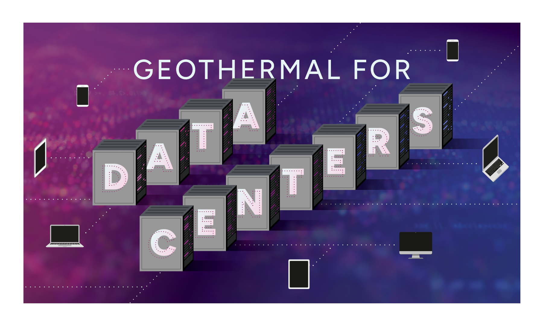
With the growing use of artificial intelligence (AI), the demand for data centers and the large energy loads required to support them is increasing rapidly. Geothermal energy has the potential to help meet the needs of this increasingly digitized world by adding more reliable power to the grid and providing cooling and thermal energy storage solutions.
Analysis
OG uses data to help inform the direction and prioritization of its research, development, and demonstration (RD&D) through analysis and strategic planning. Two prevailing documents that guide OG are (1) the 2019 GeoVision analysis, which projects growth for geothermal energy through 2050; and (2) the FY2022-FY2026 Multi-Year Program Plan, which provides a high-level technology plan for OG RD&D to support the growth and long-term contribution of geothermal energy to the U.S. electricity grid and U.S. homes and buildings.
OG's data, modeling, and analysis initiatives seek to develop and improve geothermal tools and resources to help the public and geothermal stakeholders assess regulatory needs, simulate the impacts of geothermal energy on communities, and stay updated on geothermal development and technologies.
The 2025 U.S. Geothermal Market ReportThis was an empty link: from OG and NLR highlights steady increases in geothermal power capacity, growing utility and corporate power purchase agreements, and strong momentum for future projects. It also highlights cost reductions and private investment driven by next-generation technologies like enhanced geothermal systems.
In 2023, OG supported Oak Ridge National Laboratory and NLR to conduct an analysis assessing potential grid-related and other impacts of national-scale mass deployment of GHPs. The analysis culminated in a technical report detailing researchers’ findings, including significant reductions in electricity demands and the need for grid buildouts.
OG funded research and analysis efforts to assess non-technical barriers to geothermal, resulting in four technical reports:
- Salton Sea Geothermal Development: Nontechnical Barriers to Entry—Analysis and Perspectives
- Non-Technical Barriers to Geothermal Development in California and Nevada (read this report’s accompanying fact sheet as well)
- Economic Impact of Permitting Timelines on Geothermal Power in California, Nevada, and Utah
- Mind the Gap: Comparing the Net Value of Geothermal, Wind, Solar, and Solar+Storage in the Western United States
Other examples of OG’s work to improve geothermal resources and tools:
- An analysis of the grid and system-wide value, costs, and impacts of large-scale and widespread deployment of Cold Underground Thermal Energy Storage (Cold UTES), an emerging cooling solution.
- Support for engagement with state and local stakeholders via a stakeholder engagement portfolio.
- Analysis from the Surface Preservation and Regulatory Integration Network for Geothermal Systems, or SPRINGS, project, which seeks to streamline permitting and regulation of surface thermal features such as geysers and hot springs while preserving their ecological, cultural, and recreational value.
More information about these and many other resources related to geothermal data, modeling, and analysis are available on OG’s Technical Resources page and Geothermal Publications page.
Permitting
OG co-led an interagency task force with the U.S. Department of the Interior’s Bureau of Land Management (BLM) that gathered multiple federal and state agencies to discuss challenges and opportunities related to geothermal regulatory approvals and permitting, resulting in a report of findings. OG and BLM continue to collaborate with an interagency working group focused on process improvements to geothermal project permitting on public lands.
OG's 2019 GeoVision analysis and its supporting task force report on barriers examine key regulatory, permitting, and land-access barriers to geothermal development. The modeling in this effort indicates that an expanded Categorical Exclusion for Exploration Drilling and a Centralized Permitting Office could reduce project timelines enough to drive conventional geothermal power capacity to exceed 12GW by 2050 – a 113% improvement over the Business-as-Usual (BAU) baseline.
For more guidance on understanding and addressing the permitting process, visit OG’s Permitting for Geothermal Power Development Projects page.
Geothermal Hybrid Projects
To establish new opportunities and methods for geothermal power and industrial heat expansion across the United States, OG supported five national laboratory projects to evaluate the use of geothermal hybrid projects. Hybridizing and linking geothermal energy with other generation technologies can drive operational synergies and optimize the combined beneficial attributes of multiple technologies. Research conducted through this lab call aimed to help build the case for commercial pathways and expand the breadth of viable geothermal resources.
- Idaho National Laboratory (INL): Techno-Economic Analysis of Solar Topping Cycle Hybrid Geothermal Power Plants for Retrofit and Greenfield Applications
- National Laboratory of the Rockies (NLR): Techno-economic Analysis and Market Potential of Reservoir Thermal Energy Storage Charged with Solar Thermal and Heat Pumps
- Brookhaven National Laboratory (BNL): Cements and a Modeling Tool to Calculate their Viability under Various Exploitation Conditions of High-Temperature Reservoir Thermal Energy Storage Systems
- Lawrence Berkeley National Laboratory (LBNL): Data Centers and Subsurface Thermal Energy Storage – Matching Data Center Cooling Needs with Recharging of Subsurface Thermal Energy Storage Systems
- National Laboratory of the Rockies (NLR): De-Risking Next Generation Resilient Geothermal Hybrids with Exergetic

OG emails bring geothermal funding opportunities, events, publications, and activities directly to your inbox.